Keslake Road, Kensal Rise
Introduction
The photograph on this page of Keslake Road, Kensal Rise by Malc McDonald as part of the Geograph project.
The Geograph project started in 2005 with the aim of publishing, organising and preserving representative images for every square kilometre of Great Britain, Ireland and the Isle of Man.

There are currently over 7.5m images from over 14,400 individuals and you can help contribute to the project by visiting https://www.geograph.org.uk
Keslake Road, Kensal Rise
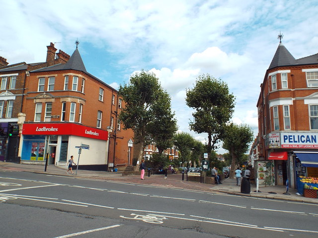
Image: © Malc McDonald Taken: 29 Aug 2015
Keslake Road has been blocked off to motor vehicles at its junction with Kensal Rise, to prevent the road being used as a "rat run".
Images are licensed for reuse under creativecommons.org/licenses/by-sa/2.0
Image Location


Leaflet Map data © OpenStreetMap
Latitude
51.533452
Longitude
-0.218558