An old road closed
Introduction
The photograph on this page of An old road closed by David Smith as part of the Geograph project.
The Geograph project started in 2005 with the aim of publishing, organising and preserving representative images for every square kilometre of Great Britain, Ireland and the Isle of Man.

There are currently over 7.5m images from over 14,400 individuals and you can help contribute to the project by visiting https://www.geograph.org.uk
An old road closed
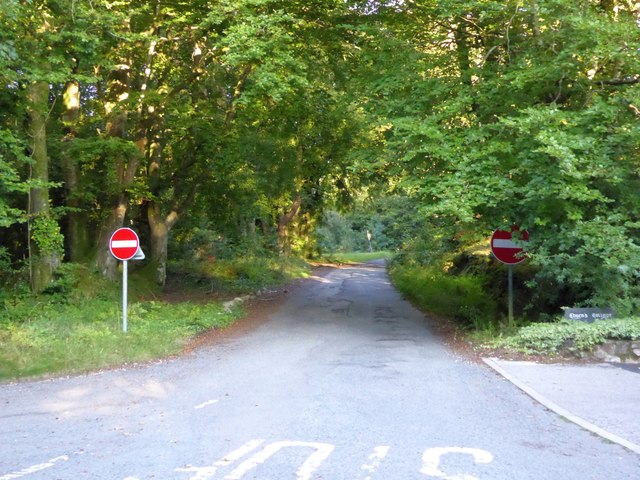
Image: © David Smith Taken: 5 Sep 2015
This was once a minor road linking to the A380; when the dual carriageway was built, this road was made one-way, and now exists as a very minor slip road off the northbound carriageway
Images are licensed for reuse under creativecommons.org/licenses/by-sa/2.0
Image Location
Latitude
50.613792
Longitude
-3.557242