Maes-yr-hedydd from the Bala by-pass
Introduction
The photograph on this page of Maes-yr-hedydd from the Bala by-pass by Eric Jones as part of the Geograph project.
The Geograph project started in 2005 with the aim of publishing, organising and preserving representative images for every square kilometre of Great Britain, Ireland and the Isle of Man.

There are currently over 7.5m images from over 14,400 individuals and you can help contribute to the project by visiting https://www.geograph.org.uk
Maes-yr-hedydd from the Bala by-pass
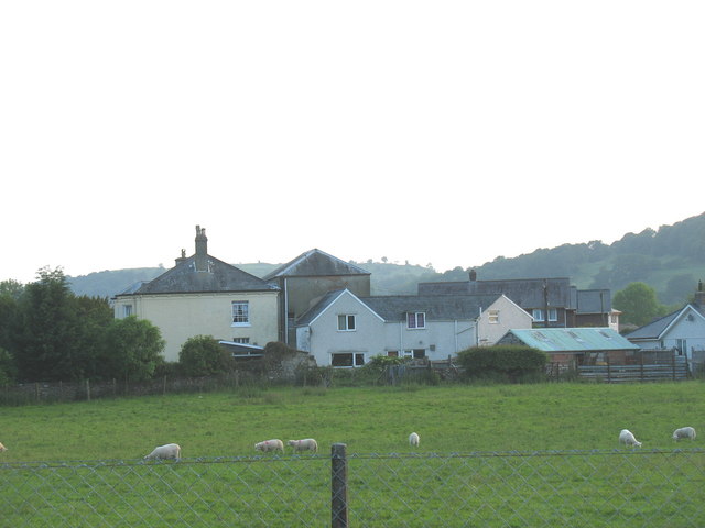
Image: © Eric Jones Taken: 8 Jun 2007
Until the late 20th century, the gentleman's residence of Maes yr Hedydd (lark's field) and its adjoining farmhouse, lay well outside the boundaries of the town of Bala. Since then it has been almost surrounded by new housing and road developments.
Images are licensed for reuse under creativecommons.org/licenses/by-sa/2.0
Image Location


Leaflet Map data © OpenStreetMap
Latitude
52.90703
Longitude
-3.594211