Gaydon Village Hall, Church Road
Introduction
The photograph on this page of Gaydon Village Hall, Church Road by David Dixon as part of the Geograph project.
The Geograph project started in 2005 with the aim of publishing, organising and preserving representative images for every square kilometre of Great Britain, Ireland and the Isle of Man.

There are currently over 7.5m images from over 14,400 individuals and you can help contribute to the project by visiting https://www.geograph.org.uk
Gaydon Village Hall, Church Road
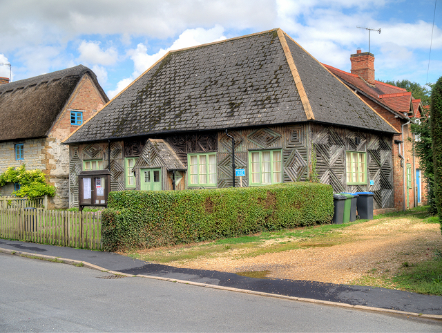
Image: © David Dixon Taken: 1 Sep 2015
The village of Gaydon lies at the junction of the B4100 (former A41) and B4451 roads, a mile from Junction 12 of the M40 motorway, and two miles north-east of Kineton. It had a population of 376 at the 2001 census (http://goo.gl/trH5k7 Office for National Statistics).
Images are licensed for reuse under creativecommons.org/licenses/by-sa/2.0
Image Location
Latitude
52.183145
Longitude
-1.46918