Lane in Yanworth
Introduction
The photograph on this page of Lane in Yanworth by Derek Harper as part of the Geograph project.
The Geograph project started in 2005 with the aim of publishing, organising and preserving representative images for every square kilometre of Great Britain, Ireland and the Isle of Man.

There are currently over 7.5m images from over 14,400 individuals and you can help contribute to the project by visiting https://www.geograph.org.uk
Lane in Yanworth
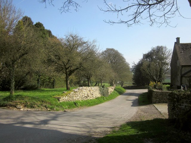
Image: © Derek Harper Taken: 8 Apr 2015
On the right is the former school house, presumably the one referred to at http://www.british-history.ac.uk/vch/glos/vol9/pp91-106 and possibly built around 1875. A view from the Macmillan Way, which doesn't actually go down this lane.
Images are licensed for reuse under creativecommons.org/licenses/by-sa/2.0
Image Location
Latitude
51.82322
Longitude
-1.889249