Junction at Yanworth
Introduction
The photograph on this page of Junction at Yanworth by Derek Harper as part of the Geograph project.
The Geograph project started in 2005 with the aim of publishing, organising and preserving representative images for every square kilometre of Great Britain, Ireland and the Isle of Man.

There are currently over 7.5m images from over 14,400 individuals and you can help contribute to the project by visiting https://www.geograph.org.uk
Junction at Yanworth
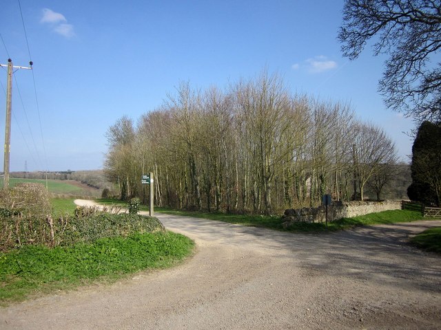
Image: © Derek Harper Taken: 8 Apr 2015
Bridleway KYA 1/1 crosses a back lane as it enters the village, with a small wood in the angle. The signpost advertises a footpath as well as the bridleway, though I can't spot one leading from this crossroads on the map.
Images are licensed for reuse under creativecommons.org/licenses/by-sa/2.0
Image Location
Latitude
51.82376
Longitude
-1.889683