Blocked field entrance on Highwoodhall Road
Introduction
The photograph on this page of Blocked field entrance on Highwoodhall Road by David Howard as part of the Geograph project.
The Geograph project started in 2005 with the aim of publishing, organising and preserving representative images for every square kilometre of Great Britain, Ireland and the Isle of Man.

There are currently over 7.5m images from over 14,400 individuals and you can help contribute to the project by visiting https://www.geograph.org.uk
Blocked field entrance on Highwoodhall Road
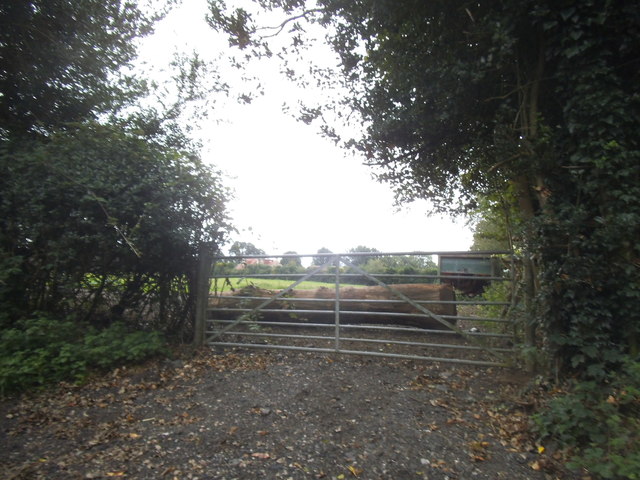
Image: © David Howard Taken: 3 Sep 2015
I see quite a few entrances blocked with logs or concrete blocks but have no idea why.
Images are licensed for reuse under creativecommons.org/licenses/by-sa/2.0
Image Location
Latitude
51.736774
Longitude
-0.420284