Wright's Lane, Kensington
Introduction
The photograph on this page of Wright's Lane, Kensington by David Hawgood as part of the Geograph project.
The Geograph project started in 2005 with the aim of publishing, organising and preserving representative images for every square kilometre of Great Britain, Ireland and the Isle of Man.

There are currently over 7.5m images from over 14,400 individuals and you can help contribute to the project by visiting https://www.geograph.org.uk
Wright's Lane, Kensington
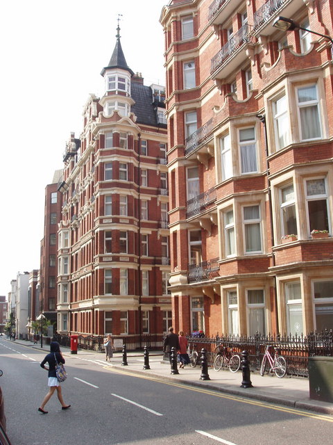
Image: © David Hawgood Taken: 10 Jun 2007
Tall mansion blocks of apartments typical of this area. The entrance to Iverna Court is between the two blocks.
Images are licensed for reuse under creativecommons.org/licenses/by-sa/2.0
Image Location
Latitude
51.500415
Longitude
-0.19276