Faded bridleway sign near the Ramsdown Plantation
Introduction
The photograph on this page of Faded bridleway sign near the Ramsdown Plantation by David Smith as part of the Geograph project.
The Geograph project started in 2005 with the aim of publishing, organising and preserving representative images for every square kilometre of Great Britain, Ireland and the Isle of Man.

There are currently over 7.5m images from over 14,400 individuals and you can help contribute to the project by visiting https://www.geograph.org.uk
Faded bridleway sign near the Ramsdown Plantation
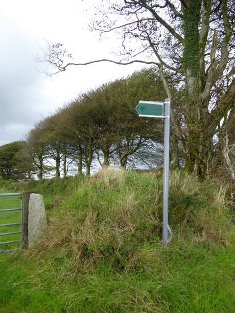
Image: © David Smith Taken: 28 Aug 2015
On older maps, the path started a little further north, and went through the woodland marked as the Ramsdown Plantation. The path has been diverted, and the plantation is now a field, edged with mature trees, some of which are visible to the left of the sign
Images are licensed for reuse under creativecommons.org/licenses/by-sa/2.0
Image Location
Latitude
50.597445
Longitude
-4.239906