Drumlin country
Introduction
The photograph on this page of Drumlin country by Robert Ashby as part of the Geograph project.
The Geograph project started in 2005 with the aim of publishing, organising and preserving representative images for every square kilometre of Great Britain, Ireland and the Isle of Man.

There are currently over 7.5m images from over 14,400 individuals and you can help contribute to the project by visiting https://www.geograph.org.uk
Drumlin country
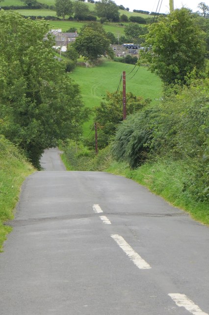
Image: © Robert Ashby Taken: 2 Sep 2015
A typical Co Down switchback road . These minor roads tend to go over, rather than round, the hills. This one is the Tullymore Road between Poyntzpass and Loughbrickland.
Images are licensed for reuse under creativecommons.org/licenses/by-sa/2.0
Image Location
Latitude
54.283805
Longitude
-6.341099