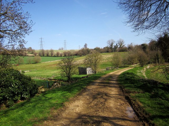
Bridleway at Cassey Compton
Introduction
The photograph on this page of Bridleway at Cassey Compton by Derek Harper as part of the Geograph project.
The Geograph project started in 2005 with the aim of publishing, organising and preserving representative images for every square kilometre of Great Britain, Ireland and the Isle of Man.
There are currently over 7.5m images from over 14,400 individuals and you can help contribute to the project by visiting https://www.geograph.org.uk

Image: © Derek Harper Taken: 8 Apr 2015
Only 138 metres long, according to http://www.rowmaps.com/showmap.php?place=Cassey%20Compton&map=OS&lat=51.8367&lon=1.935&lonew=W , this track links King's Head Lane to the White Way. Here it seems to be raised on a causeway as it crosses a tributary of the Coln, the Compton Abdale stream or Dene Brook. The number is KWR 29/2.

