Barns at Cassey Compton
Introduction
The photograph on this page of Barns at Cassey Compton by Derek Harper as part of the Geograph project.
The Geograph project started in 2005 with the aim of publishing, organising and preserving representative images for every square kilometre of Great Britain, Ireland and the Isle of Man.

There are currently over 7.5m images from over 14,400 individuals and you can help contribute to the project by visiting https://www.geograph.org.uk
Barns at Cassey Compton
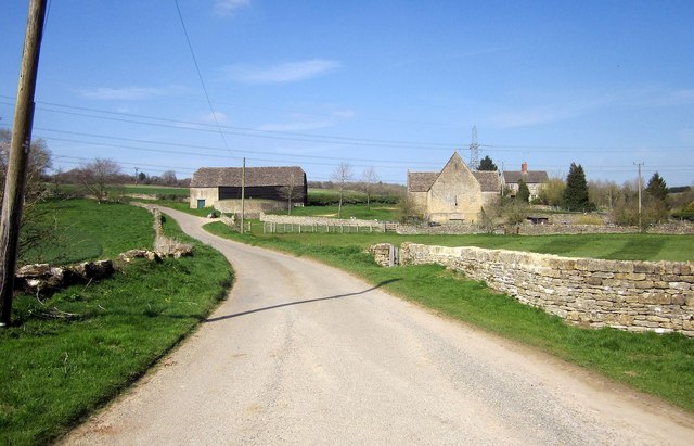
Image: © Derek Harper Taken: 8 Apr 2015
The two C18 barns are listed: http://list.historicengland.org.uk/resultsingle.aspx?uid=1252020&searchtype=mapsearch (left) and http://list.historicengland.org.uk/resultsingle.aspx?uid=1341328&searchtype=mapsearch ; see also Image] and Image On the left is the telegraph pole on which the kestrel shown in Image] was perched; it's flown off now. The lane, to Withington, is King's Head Lane.
Images are licensed for reuse under creativecommons.org/licenses/by-sa/2.0
Image Location
Latitude
51.83449
Longitude
-1.930292