All Saints Parish Church, Shrewsbury
Introduction
The photograph on this page of All Saints Parish Church, Shrewsbury by Jaggery as part of the Geograph project.
The Geograph project started in 2005 with the aim of publishing, organising and preserving representative images for every square kilometre of Great Britain, Ireland and the Isle of Man.

There are currently over 7.5m images from over 14,400 individuals and you can help contribute to the project by visiting https://www.geograph.org.uk
All Saints Parish Church, Shrewsbury
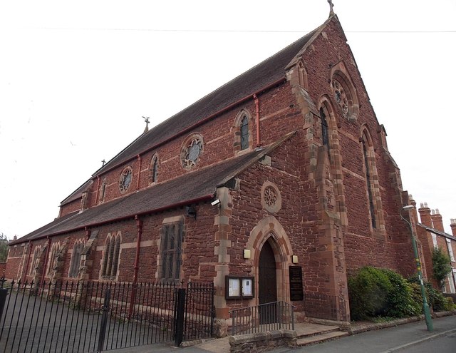
Image: © Jaggery Taken: 31 May 2014
Viewed across North Street. The nameboard http://www.geograph.org.uk/photo/4643770 shows CHURCH OF ENGLAND THE PARISH OF ALL SAINTS WITH S.MICHAEL Castlefields, Shrewsbury Diocese of Lichfield ALL SAINTS PARISH CHURCH.
Images are licensed for reuse under creativecommons.org/licenses/by-sa/2.0
Image Location
Latitude
52.713945
Longitude
-2.743356