Innerhaugh Mews
Introduction
The photograph on this page of Innerhaugh Mews by Oliver Dixon as part of the Geograph project.
The Geograph project started in 2005 with the aim of publishing, organising and preserving representative images for every square kilometre of Great Britain, Ireland and the Isle of Man.

There are currently over 7.5m images from over 14,400 individuals and you can help contribute to the project by visiting https://www.geograph.org.uk
Innerhaugh Mews
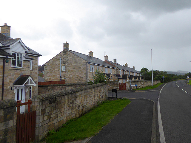
Image: © Oliver Dixon Taken: 2 Sep 2015
Modern housing estate on the western side of Haydon Bridge. The road to the right was the course of the A69 until the recent construction of the by-pass round the village.
Images are licensed for reuse under creativecommons.org/licenses/by-sa/2.0
Image Location
Latitude
54.971613
Longitude
-2.253189