Along the perimeter
Introduction
The photograph on this page of Along the perimeter by David Luther Thomas as part of the Geograph project.
The Geograph project started in 2005 with the aim of publishing, organising and preserving representative images for every square kilometre of Great Britain, Ireland and the Isle of Man.

There are currently over 7.5m images from over 14,400 individuals and you can help contribute to the project by visiting https://www.geograph.org.uk
Along the perimeter
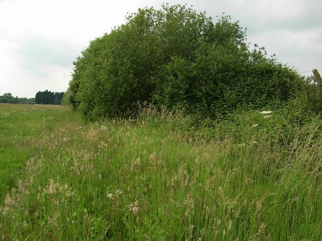
Image: © David Luther Thomas Taken: 11 Jun 2007
Much of the fence is now hidden by these trees. Looking towards the end (where the road becomes a bridleway) of Langford Lane.
Images are licensed for reuse under creativecommons.org/licenses/by-sa/2.0
Image Location
Latitude
51.877176
Longitude
-1.158288