141-143, High Street, Lindfield
Introduction
The photograph on this page of 141-143, High Street, Lindfield by Simon Carey as part of the Geograph project.
The Geograph project started in 2005 with the aim of publishing, organising and preserving representative images for every square kilometre of Great Britain, Ireland and the Isle of Man.

There are currently over 7.5m images from over 14,400 individuals and you can help contribute to the project by visiting https://www.geograph.org.uk
141-143, High Street, Lindfield
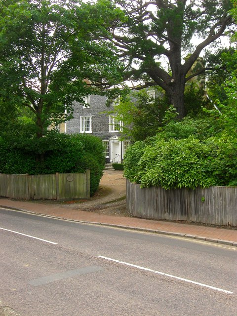
Image: © Simon Carey Taken: 30 Aug 2015
Originally a single residence called Townlands dating from the 17th century that was refronted with mathematical tiling in the early 19th century. Sometime between 1910 and 1937 the building was split into two residences with the smaller southern part now known as Green Orchard and numbered 141 whilst the remainder has retained the original name and is now number 143. As the road passes round the church the layout of the residences changes as they begin to be set back from the road and partly obscured by hedges.
Images are licensed for reuse under creativecommons.org/licenses/by-sa/2.0
Image Location


Leaflet Map data © OpenStreetMap
Latitude
51.016317
Longitude
-0.079052