Middlefield Lane (the South Downs Way) at Cocking Hill Dairy
Introduction
The photograph on this page of Middlefield Lane (the South Downs Way) at Cocking Hill Dairy by Stefan Czapski as part of the Geograph project.
The Geograph project started in 2005 with the aim of publishing, organising and preserving representative images for every square kilometre of Great Britain, Ireland and the Isle of Man.

There are currently over 7.5m images from over 14,400 individuals and you can help contribute to the project by visiting https://www.geograph.org.uk
Middlefield Lane (the South Downs Way) at Cocking Hill Dairy
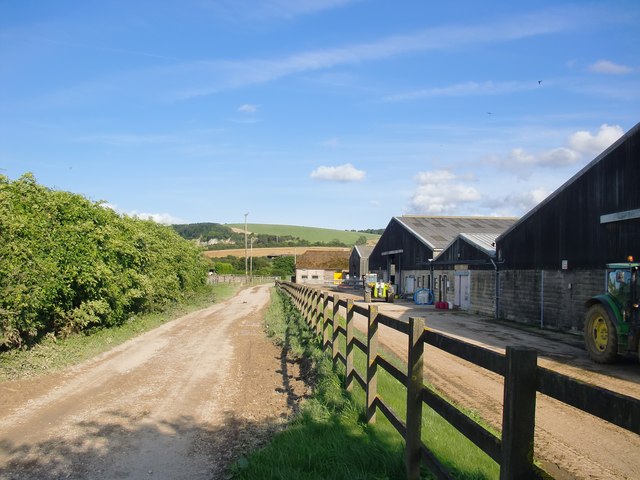
Image: © Stefan Czapski Taken: 28 Aug 2015
View eastwards, towards the A 286 and - beyond - Manorfarm Down. The dairy is part of the Cowdray Park estate.
Images are licensed for reuse under creativecommons.org/licenses/by-sa/2.0
Image Location


Leaflet Map data © OpenStreetMap
Latitude
50.943238
Longitude
-0.759487