95-97, High Street, Lindfield
Introduction
The photograph on this page of 95-97, High Street, Lindfield by Simon Carey as part of the Geograph project.
The Geograph project started in 2005 with the aim of publishing, organising and preserving representative images for every square kilometre of Great Britain, Ireland and the Isle of Man.

There are currently over 7.5m images from over 14,400 individuals and you can help contribute to the project by visiting https://www.geograph.org.uk
95-97, High Street, Lindfield
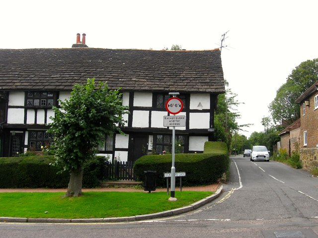
Image: © Simon Carey Taken: 30 Aug 2015
Built as a single house in the 16th century and currently two separate residences that still retain their timber framing; number 95 on the left is known as Well House whilst 97 to the right is Barnlands, its former barn still stands to the rear and has now been converted into a residence. On the right is Hickmans Lane.
Images are licensed for reuse under creativecommons.org/licenses/by-sa/2.0
Image Location
Latitude
51.014093
Longitude
-0.08057