112-116, High Street, Lindfield
Introduction
The photograph on this page of 112-116, High Street, Lindfield by Simon Carey as part of the Geograph project.
The Geograph project started in 2005 with the aim of publishing, organising and preserving representative images for every square kilometre of Great Britain, Ireland and the Isle of Man.

There are currently over 7.5m images from over 14,400 individuals and you can help contribute to the project by visiting https://www.geograph.org.uk
112-116, High Street, Lindfield
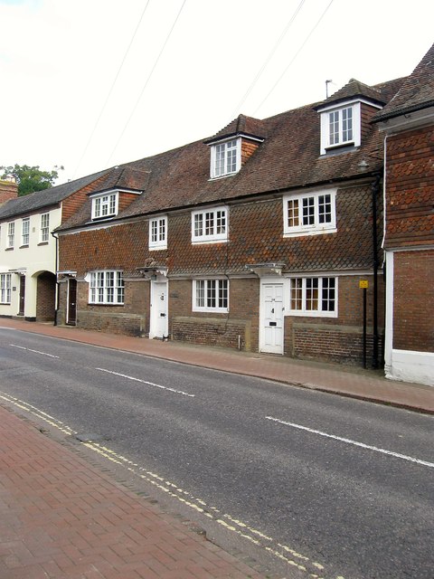
Image: © Simon Carey Taken: 30 Aug 2015
The house dates from the 17th century and was refronted in the Georgian era. Number 112 is on the right, 114 is in the middle and is also known as Oakley House, whilst 116 is to the right adjacent to Image
Images are licensed for reuse under creativecommons.org/licenses/by-sa/2.0
Image Location
Latitude
51.015593
Longitude
-0.078797