Wheatfield and farm track near Monkhopton, Shropshire
Introduction
The photograph on this page of Wheatfield and farm track near Monkhopton, Shropshire by Roger D Kidd as part of the Geograph project.
The Geograph project started in 2005 with the aim of publishing, organising and preserving representative images for every square kilometre of Great Britain, Ireland and the Isle of Man.

There are currently over 7.5m images from over 14,400 individuals and you can help contribute to the project by visiting https://www.geograph.org.uk
Wheatfield and farm track near Monkhopton, Shropshire
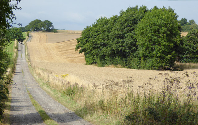
Image: © Roger D Kidd Taken: 22 Aug 2015
This is the approach to Ousley Farm from the B4368 about a kilometre west of Aston Eyre. A public footpath also goes this way and continues across fields to the A458 near Muckley Cross.
Images are licensed for reuse under creativecommons.org/licenses/by-sa/2.0
Image Location
Latitude
52.544118
Longitude
-2.526964