Kingswood shop and pub
Introduction
The photograph on this page of Kingswood shop and pub by Bob Harvey as part of the Geograph project.
The Geograph project started in 2005 with the aim of publishing, organising and preserving representative images for every square kilometre of Great Britain, Ireland and the Isle of Man.

There are currently over 7.5m images from over 14,400 individuals and you can help contribute to the project by visiting https://www.geograph.org.uk
Kingswood shop and pub
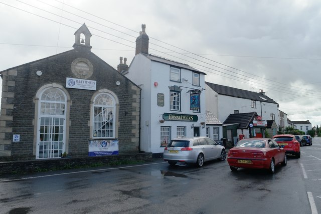
Image: © Bob Harvey Taken: 27 Aug 2015
Clustered round the top of the hill where the High Street meets Wickwar Road, this small open space is known as 'The Chipping' The former chapel is now a gymnasium.
Images are licensed for reuse under creativecommons.org/licenses/by-sa/2.0
Image Location
Latitude
51.624261
Longitude
-2.367879