Cottage in Blaenffos
Introduction
The photograph on this page of Cottage in Blaenffos by Roger W Haworth as part of the Geograph project.
The Geograph project started in 2005 with the aim of publishing, organising and preserving representative images for every square kilometre of Great Britain, Ireland and the Isle of Man.

There are currently over 7.5m images from over 14,400 individuals and you can help contribute to the project by visiting https://www.geograph.org.uk
Cottage in Blaenffos
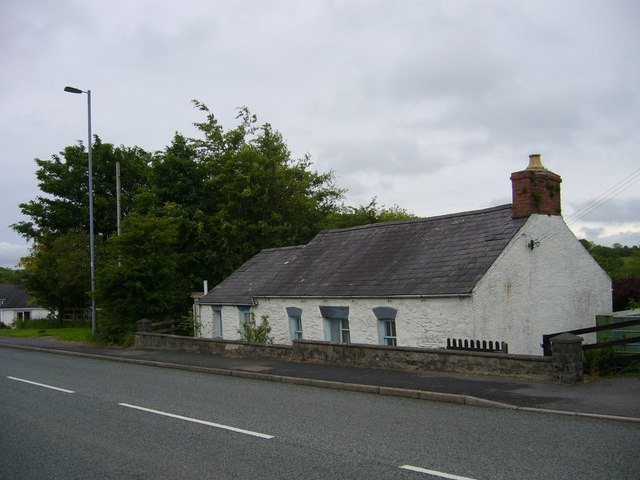
Image: © Roger W Haworth Taken: 3 Jun 2007
on the main street (A478). The trees on the left are in what was a cutting of the Whitland and Cardigan Branch of the GWR. The cottage is below road level and probably seemed even lower in the past because the road may have crossed the railway with a hump bridge at this point.
Images are licensed for reuse under creativecommons.org/licenses/by-sa/2.0
Image Location


Leaflet Map data © OpenStreetMap
Latitude
51.999606
Longitude
-4.638222