Track, Stride's Farm, Stony Batter
Introduction
The photograph on this page of Track, Stride's Farm, Stony Batter by Andy Gryce as part of the Geograph project.
The Geograph project started in 2005 with the aim of publishing, organising and preserving representative images for every square kilometre of Great Britain, Ireland and the Isle of Man.

There are currently over 7.5m images from over 14,400 individuals and you can help contribute to the project by visiting https://www.geograph.org.uk
Track, Stride's Farm, Stony Batter
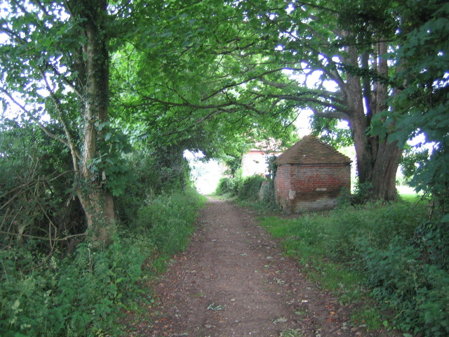
Image: © Andy Gryce Taken: 8 Jun 2007
A winding farm track, which is not a right of way, runs between West Tytherley and Stony Batter, and this view shows the eastern end of the track, with the buildings of Stride's Farm on the right, before it becomes an unclassified road. See also Image
Images are licensed for reuse under creativecommons.org/licenses/by-sa/2.0
Image Location


Leaflet Map data © OpenStreetMap
Latitude
51.066908
Longitude
-1.591076