Lammas Lands, Godalming
Introduction
The photograph on this page of Lammas Lands, Godalming by Alan Hunt as part of the Geograph project.
The Geograph project started in 2005 with the aim of publishing, organising and preserving representative images for every square kilometre of Great Britain, Ireland and the Isle of Man.

There are currently over 7.5m images from over 14,400 individuals and you can help contribute to the project by visiting https://www.geograph.org.uk
Lammas Lands, Godalming
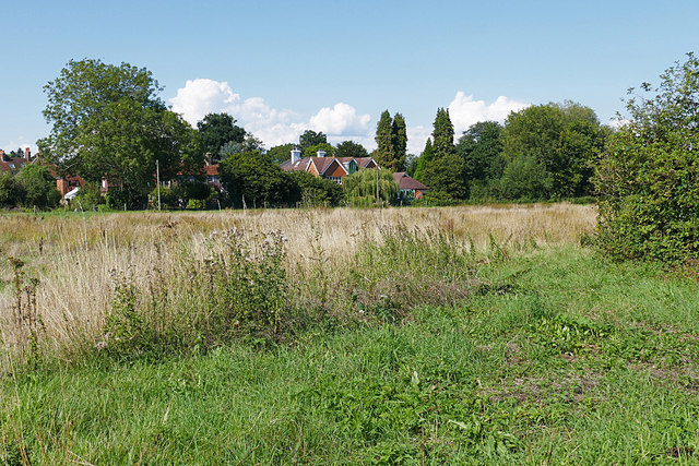
Image: © Alan Hunt Taken: 22 Aug 2015
The large area of floodplain along the River Wey approaching Godalming. They are called Lammas Lands after the commoners right to graze animals after the hay harvest from Lammas Day on August 1st until Lady Day on 25th March
Images are licensed for reuse under creativecommons.org/licenses/by-sa/2.0
Image Location
Latitude
51.193098
Longitude
-0.596371