Mere near Glass Houses
Introduction
The photograph on this page of Mere near Glass Houses by Espresso Addict as part of the Geograph project.
The Geograph project started in 2005 with the aim of publishing, organising and preserving representative images for every square kilometre of Great Britain, Ireland and the Isle of Man.

There are currently over 7.5m images from over 14,400 individuals and you can help contribute to the project by visiting https://www.geograph.org.uk
Mere near Glass Houses
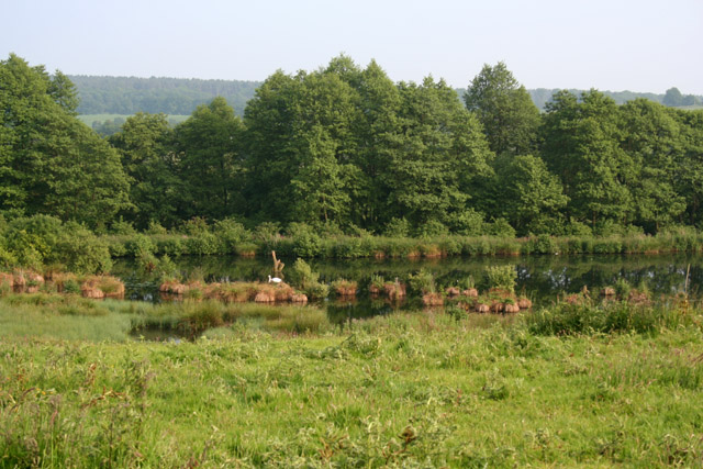
Image: © Espresso Addict Taken: 10 Jun 2007
The westerly of two meres in pasture south of Glass Houses, in the valley of Coal Brook. View from the footpath between Hales and Fair Oak
Images are licensed for reuse under creativecommons.org/licenses/by-sa/2.0
Image Location


Leaflet Map data © OpenStreetMap
Latitude
52.89113
Longitude
-2.383871