Lower Breck Farmhouse, Sowerby
Introduction
The photograph on this page of Lower Breck Farmhouse, Sowerby by Humphrey Bolton as part of the Geograph project.
The Geograph project started in 2005 with the aim of publishing, organising and preserving representative images for every square kilometre of Great Britain, Ireland and the Isle of Man.

There are currently over 7.5m images from over 14,400 individuals and you can help contribute to the project by visiting https://www.geograph.org.uk
Lower Breck Farmhouse, Sowerby
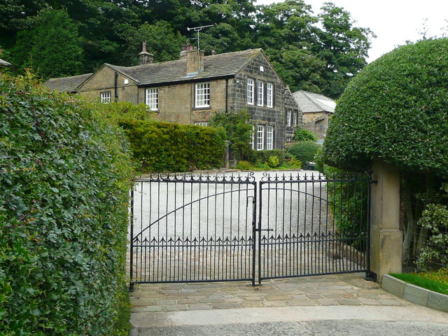
Image: © Humphrey Bolton Taken: 29 Aug 2015
This building is listed, Grade II. It was originally built in the 17C, and was extended and altered in the 18C and 19C.
Images are licensed for reuse under creativecommons.org/licenses/by-sa/2.0
Image Location
Latitude
53.699998
Longitude
-1.93453