Direction and distances sign in Llanbadoc
Introduction
The photograph on this page of Direction and distances sign in Llanbadoc by Jaggery as part of the Geograph project.
The Geograph project started in 2005 with the aim of publishing, organising and preserving representative images for every square kilometre of Great Britain, Ireland and the Isle of Man.

There are currently over 7.5m images from over 14,400 individuals and you can help contribute to the project by visiting https://www.geograph.org.uk
Direction and distances sign in Llanbadoc
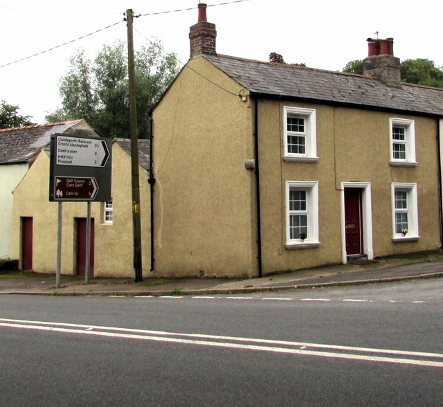
Image: © Jaggery Taken: 30 Aug 2015
Llanbadoc is a village near Usk in Monmouthshire. The upper white sign points towards Llandegveth Reservoir, Coed-y-Paen and HMP/YOI Prescoed. HMP = Her Majesty's Prison. YOI= Young Offenders Institution. The brown sign points towards a golf course and Cefn Ila (a large woodland).
Images are licensed for reuse under creativecommons.org/licenses/by-sa/2.0
Image Location
Latitude
51.695173
Longitude
-2.904358