Countryside seen from the Thornton Watlass/Thirn Road
Introduction
The photograph on this page of Countryside seen from the Thornton Watlass/Thirn Road by Chris Heaton as part of the Geograph project.
The Geograph project started in 2005 with the aim of publishing, organising and preserving representative images for every square kilometre of Great Britain, Ireland and the Isle of Man.

There are currently over 7.5m images from over 14,400 individuals and you can help contribute to the project by visiting https://www.geograph.org.uk
Countryside seen from the Thornton Watlass/Thirn Road
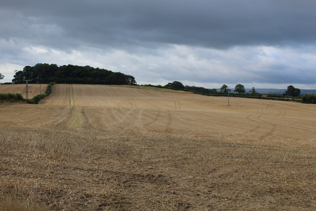
Image: © Chris Heaton Taken: 29 Aug 2015
This looks over countryside seen south from the road between Thirn and Thornton Watlass on the eastern valley slopes of Lower Wensleydale.
Images are licensed for reuse under creativecommons.org/licenses/by-sa/2.0
Image Location
Latitude
54.262426
Longitude
-1.656543