Pont y Bala
Introduction
The photograph on this page of Pont y Bala by Eric Jones as part of the Geograph project.
The Geograph project started in 2005 with the aim of publishing, organising and preserving representative images for every square kilometre of Great Britain, Ireland and the Isle of Man.

There are currently over 7.5m images from over 14,400 individuals and you can help contribute to the project by visiting https://www.geograph.org.uk
Pont y Bala
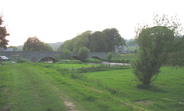
Image: © Eric Jones Taken: 8 Jun 2007
This much widened bridge on the eastern outskirts of the town carries the A494 over Afon Tryweryn. This has been an important crossing point since at least the Roman period.
Images are licensed for reuse under creativecommons.org/licenses/by-sa/2.0
Image Location
Latitude
52.912968
Longitude
-3.593835