Muirend
Introduction
The photograph on this page of Muirend by Anne Burgess as part of the Geograph project.
The Geograph project started in 2005 with the aim of publishing, organising and preserving representative images for every square kilometre of Great Britain, Ireland and the Isle of Man.

There are currently over 7.5m images from over 14,400 individuals and you can help contribute to the project by visiting https://www.geograph.org.uk
Muirend
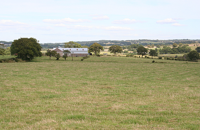
Image: © Anne Burgess Taken: 25 Aug 2015
The buildings at Muirend Farm straddle the crossing of two gridlines, but all the foreground is in this square.
Images are licensed for reuse under creativecommons.org/licenses/by-sa/2.0
Image Location
Latitude
55.915085
Longitude
-4.034167