Normandy Village Hall
Introduction
The photograph on this page of Normandy Village Hall by Stefan Czapski as part of the Geograph project.
The Geograph project started in 2005 with the aim of publishing, organising and preserving representative images for every square kilometre of Great Britain, Ireland and the Isle of Man.

There are currently over 7.5m images from over 14,400 individuals and you can help contribute to the project by visiting https://www.geograph.org.uk
Normandy Village Hall
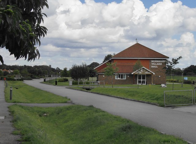
Image: © Stefan Czapski Taken: 28 Aug 2015
Vehicle access from Glaziers Lane is controlled by a barrier.
Images are licensed for reuse under creativecommons.org/licenses/by-sa/2.0
Image Location
Latitude
51.25447
Longitude
-0.66945