Ruglys Close
Introduction
The photograph on this page of Ruglys Close by John Baker as part of the Geograph project.
The Geograph project started in 2005 with the aim of publishing, organising and preserving representative images for every square kilometre of Great Britain, Ireland and the Isle of Man.

There are currently over 7.5m images from over 14,400 individuals and you can help contribute to the project by visiting https://www.geograph.org.uk
Ruglys Close
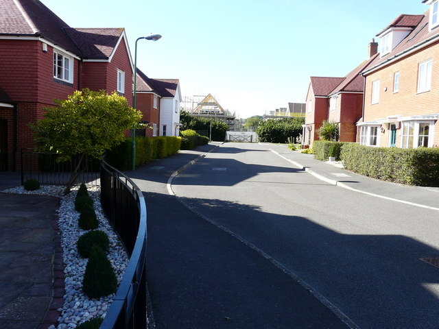
Image: © John Baker Taken: 9 Aug 2015
Compared with Image but viewed a little further along the close, it can be seen that houses on the Poppy Fields housing estate are springing/have sprung up at the end of it.
Images are licensed for reuse under creativecommons.org/licenses/by-sa/2.0
Image Location
Latitude
51.21061
Longitude
0.789839