McIlwaine Lane
Introduction
The photograph on this page of McIlwaine Lane by Rossographer as part of the Geograph project.
The Geograph project started in 2005 with the aim of publishing, organising and preserving representative images for every square kilometre of Great Britain, Ireland and the Isle of Man.

There are currently over 7.5m images from over 14,400 individuals and you can help contribute to the project by visiting https://www.geograph.org.uk
McIlwaine Lane
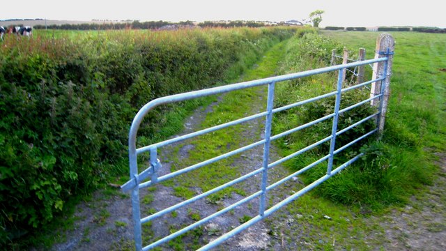
Image: © Rossographer Taken: 9 Jun 2007
This is an actual public road - McIlwaine Lane that leads from the Lower Balloo Road to the A2 near Groomsport. The road does not have a gate but a local farmer has a habit of tying his gate from the field next across the road to prevent people getting down!
Images are licensed for reuse under creativecommons.org/licenses/by-sa/2.0
Image Location
Latitude
54.668367
Longitude
-5.597363