Luggie Water
Introduction
The photograph on this page of Luggie Water by Anne Burgess as part of the Geograph project.
The Geograph project started in 2005 with the aim of publishing, organising and preserving representative images for every square kilometre of Great Britain, Ireland and the Isle of Man.

There are currently over 7.5m images from over 14,400 individuals and you can help contribute to the project by visiting https://www.geograph.org.uk
Luggie Water
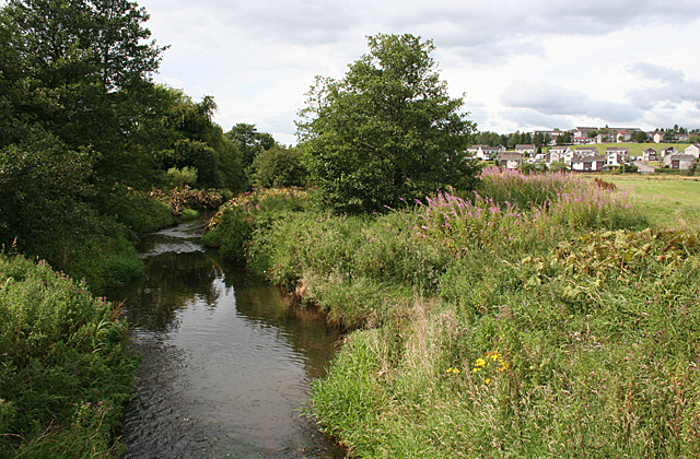
Image: © Anne Burgess Taken: 25 Aug 2015
The modest Luggie Water here forms the boundary between the parishes of Cumbernauld and New Monkland and between the counties of Stirling and Dunbarton. It also seems to form part of the boundary between the present council areas of East Dunbartonshire and North Lanarkshire. Image] is the same scene in less benign mood.
Images are licensed for reuse under creativecommons.org/licenses/by-sa/2.0
Image Location
Latitude
55.928547
Longitude
-4.013422