Ceredigion farmland south-west of Swyddffynnon
Introduction
The photograph on this page of Ceredigion farmland south-west of Swyddffynnon by Roger D Kidd as part of the Geograph project.
The Geograph project started in 2005 with the aim of publishing, organising and preserving representative images for every square kilometre of Great Britain, Ireland and the Isle of Man.

There are currently over 7.5m images from over 14,400 individuals and you can help contribute to the project by visiting https://www.geograph.org.uk
Ceredigion farmland south-west of Swyddffynnon
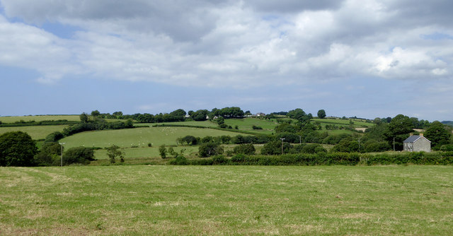
Image: © Roger D Kidd Taken: 17 Aug 2015
This image was taken from a gateway by a public footpath which shows on the maps, but does not appear to be signed at all on the ground. On the right is the farmhouse at Cnwc. On the hill are the extensive buildings at Penlan.
Images are licensed for reuse under creativecommons.org/licenses/by-sa/2.0
Image Location
Latitude
52.271202
Longitude
-3.931699