Wills Gill, Guiseley
Introduction
The photograph on this page of Wills Gill, Guiseley by Jennifer Kirkby as part of the Geograph project.
The Geograph project started in 2005 with the aim of publishing, organising and preserving representative images for every square kilometre of Great Britain, Ireland and the Isle of Man.

There are currently over 7.5m images from over 14,400 individuals and you can help contribute to the project by visiting https://www.geograph.org.uk
Wills Gill, Guiseley
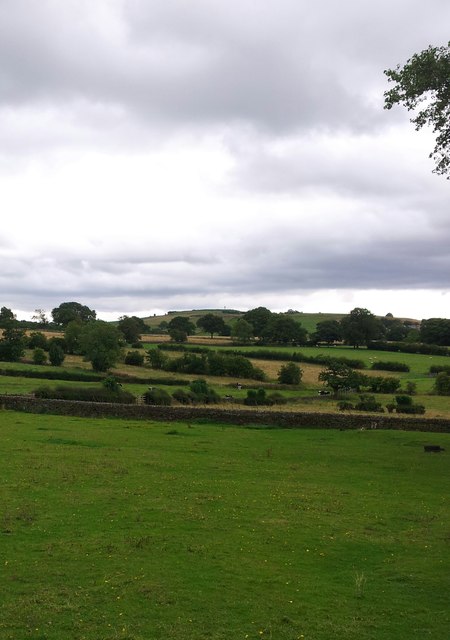
Image: © Jennifer Kirkby Taken: 21 Aug 2015
Looking across Wills Gill fields to Yeadon Haw, from Carlton Lane
Images are licensed for reuse under creativecommons.org/licenses/by-sa/2.0
Image Location
Latitude
53.878779
Longitude
-1.702587