Parkwood Close
Introduction
The photograph on this page of Parkwood Close by John Baker as part of the Geograph project.
The Geograph project started in 2005 with the aim of publishing, organising and preserving representative images for every square kilometre of Great Britain, Ireland and the Isle of Man.

There are currently over 7.5m images from over 14,400 individuals and you can help contribute to the project by visiting https://www.geograph.org.uk
Parkwood Close
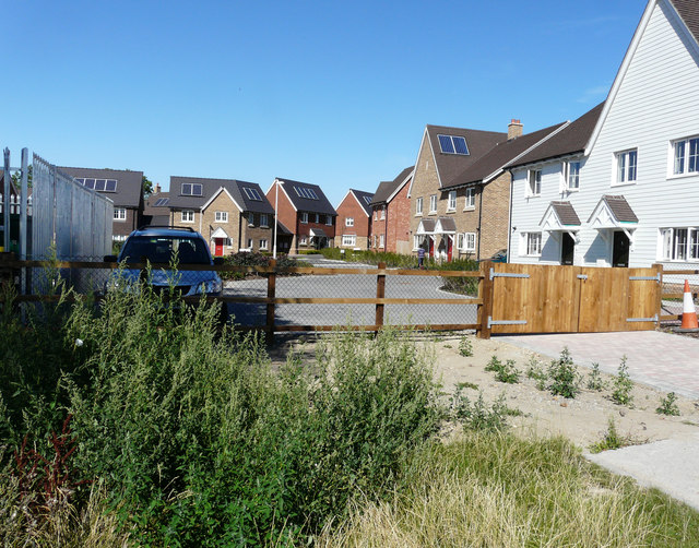
Image: © John Baker Taken: 9 Aug 2015
Compared with Image, now the entrance gate has been removed, this is the view of a new road on The Hollies estate.
Images are licensed for reuse under creativecommons.org/licenses/by-sa/2.0
Image Location
Latitude
51.242447
Longitude
0.66653