Towards the city from Victoria Embankment Recreation Ground
Introduction
The photograph on this page of Towards the city from Victoria Embankment Recreation Ground by John Sutton as part of the Geograph project.
The Geograph project started in 2005 with the aim of publishing, organising and preserving representative images for every square kilometre of Great Britain, Ireland and the Isle of Man.

There are currently over 7.5m images from over 14,400 individuals and you can help contribute to the project by visiting https://www.geograph.org.uk
Towards the city from Victoria Embankment Recreation Ground
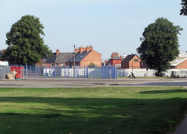
Image: © John Sutton Taken: 23 Aug 2015
A foreshortened view towards Felton Road and Wilford Crescent East, with the Council House dome in the city centre on the skyline to the left of the right-hand tree.
Images are licensed for reuse under creativecommons.org/licenses/by-sa/2.0
Image Location
Latitude
52.935673
Longitude
-1.142514