West Malling by-pass and cycle path
Introduction
The photograph on this page of West Malling by-pass and cycle path by Ron Lee as part of the Geograph project.
The Geograph project started in 2005 with the aim of publishing, organising and preserving representative images for every square kilometre of Great Britain, Ireland and the Isle of Man.

There are currently over 7.5m images from over 14,400 individuals and you can help contribute to the project by visiting https://www.geograph.org.uk
West Malling by-pass and cycle path
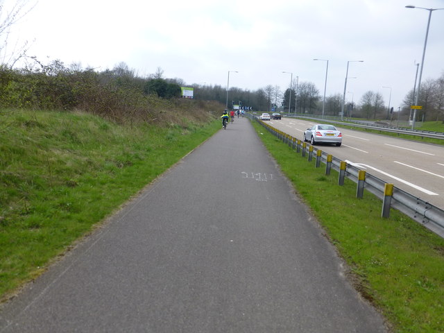
Image: © Ron Lee Taken: 6 Apr 2015
A well designed cycle path beside the A228 just before the main entrance into the Kings Hill estate.
Images are licensed for reuse under creativecommons.org/licenses/by-sa/2.0
Image Location
Latitude
51.282294
Longitude
0.40482