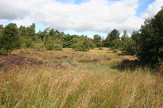
Former Quarry
Introduction
The photograph on this page of Former Quarry by Anne Burgess as part of the Geograph project.
The Geograph project started in 2005 with the aim of publishing, organising and preserving representative images for every square kilometre of Great Britain, Ireland and the Isle of Man.
There are currently over 7.5m images from over 14,400 individuals and you can help contribute to the project by visiting https://www.geograph.org.uk

Image: © Anne Burgess Taken: 25 Aug 2015
The First Series six-inch Ordnance Survey map shows a large number of tiny whinstone quarries in this area. Whinstone is the quarrymen's term for hard crystalline rock that geologists now recognise as dolerite. Interestingly, the late Victorian six-inch map doesn't show a large quarry here, so the whole thing must have been opened, worked and abandoned in the course of the 20th century.

