Track to Streetly Lane, Sutton Park northeast
Introduction
The photograph on this page of Track to Streetly Lane, Sutton Park northeast by Robin Stott as part of the Geograph project.
The Geograph project started in 2005 with the aim of publishing, organising and preserving representative images for every square kilometre of Great Britain, Ireland and the Isle of Man.

There are currently over 7.5m images from over 14,400 individuals and you can help contribute to the project by visiting https://www.geograph.org.uk
Track to Streetly Lane, Sutton Park northeast
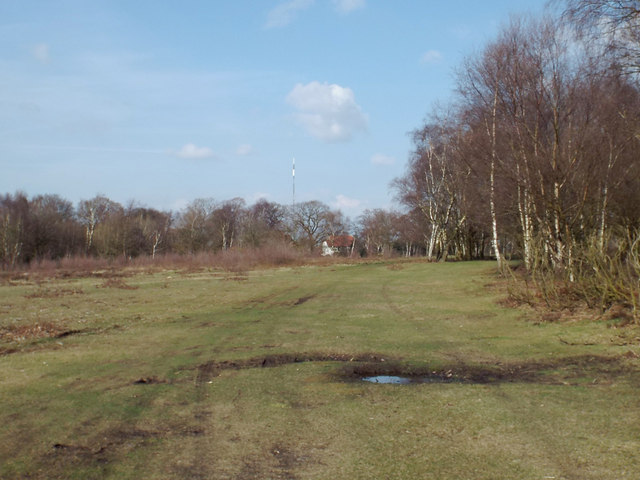
Image: © Robin Stott Taken: 6 Apr 2015
Birch woodland is much in evidence in this northern part of the park, perhaps the aftermath of past felling or fire. The woodland on the right is named Mayor's Parlour. The TV mast is in Image Aerial photos show two tall masts within 100m of each other and a shorter mast in between.
Images are licensed for reuse under creativecommons.org/licenses/by-sa/2.0
Image Location
Latitude
52.586549
Longitude
-1.849112