Blackpit Lane near Orton
Introduction
The photograph on this page of Blackpit Lane near Orton by Richard Vince as part of the Geograph project.
The Geograph project started in 2005 with the aim of publishing, organising and preserving representative images for every square kilometre of Great Britain, Ireland and the Isle of Man.

There are currently over 7.5m images from over 14,400 individuals and you can help contribute to the project by visiting https://www.geograph.org.uk
Blackpit Lane near Orton
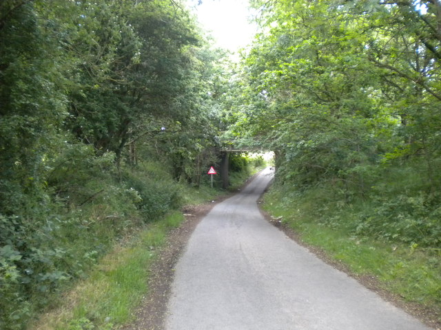
Image: © Richard Vince Taken: 21 Jun 2015
Looking towards the bridge carrying the South Staffordshire Railway Walk (formerly the Oxley to Pensnett railway line) across the road.
Images are licensed for reuse under creativecommons.org/licenses/by-sa/2.0
Image Location
Latitude
52.555637
Longitude
-2.202171