Track towards The New Road, Peterstow
Introduction
The photograph on this page of Track towards The New Road, Peterstow by Jaggery as part of the Geograph project.
The Geograph project started in 2005 with the aim of publishing, organising and preserving representative images for every square kilometre of Great Britain, Ireland and the Isle of Man.

There are currently over 7.5m images from over 14,400 individuals and you can help contribute to the project by visiting https://www.geograph.org.uk
Track towards The New Road, Peterstow
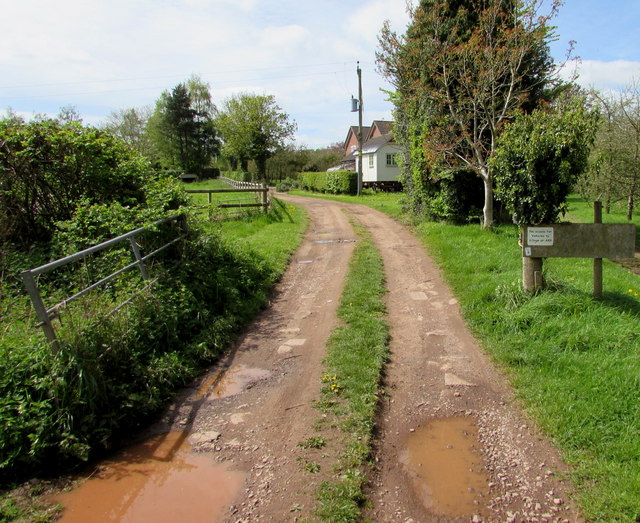
Image: © Jaggery Taken: 4 May 2015
This is part of the Peterstow-Bridstow Loop walk, here towards The New Road which leads to the A49. Out of shot 100 metres to the right is Old Lane.
Images are licensed for reuse under creativecommons.org/licenses/by-sa/2.0
Image Location


Leaflet Map data © OpenStreetMap
Latitude
51.919397
Longitude
-2.631574