Road to The Street under railway bridge
Introduction
The photograph on this page of Road to The Street under railway bridge by Martin Dawes as part of the Geograph project.
The Geograph project started in 2005 with the aim of publishing, organising and preserving representative images for every square kilometre of Great Britain, Ireland and the Isle of Man.

There are currently over 7.5m images from over 14,400 individuals and you can help contribute to the project by visiting https://www.geograph.org.uk
Road to The Street under railway bridge
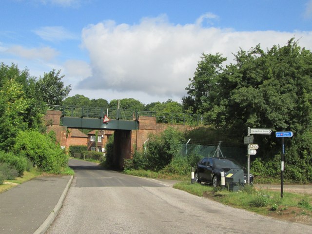
Image: © Martin Dawes Taken: 14 Aug 2015
The rail line is between Ashford and Canterbury, to the right is Eggarton Lane
Images are licensed for reuse under creativecommons.org/licenses/by-sa/2.0
Image Location
Latitude
51.217501
Longitude
0.959538