B2139, Turnpike Road, east of Amberley
Introduction
The photograph on this page of B2139, Turnpike Road, east of Amberley by David Smith as part of the Geograph project.
The Geograph project started in 2005 with the aim of publishing, organising and preserving representative images for every square kilometre of Great Britain, Ireland and the Isle of Man.

There are currently over 7.5m images from over 14,400 individuals and you can help contribute to the project by visiting https://www.geograph.org.uk
B2139, Turnpike Road, east of Amberley
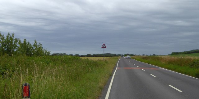
Image: © David Smith Taken: 5 Jul 2015
The road follows a route on a plateau between the river valley and the heights of the South Downs around Amberley Mount
Images are licensed for reuse under creativecommons.org/licenses/by-sa/2.0
Image Location
Latitude
50.907099
Longitude
-0.528183