Gated Road
Introduction
The photograph on this page of Gated Road by John M as part of the Geograph project.
The Geograph project started in 2005 with the aim of publishing, organising and preserving representative images for every square kilometre of Great Britain, Ireland and the Isle of Man.

There are currently over 7.5m images from over 14,400 individuals and you can help contribute to the project by visiting https://www.geograph.org.uk
Gated Road
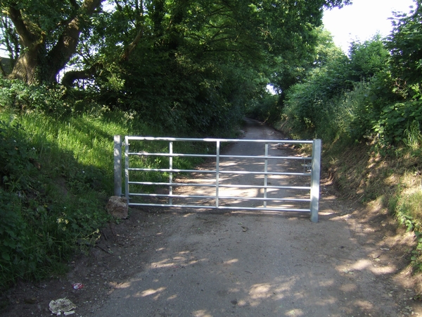
Image: © John M Taken: 10 Jun 2007
Old Hampton Lane is gated off at both ends, although there is no lock. There were no properties on the road which I understand was closed as a result of mining subsidence.
Images are licensed for reuse under creativecommons.org/licenses/by-sa/2.0
Image Location
Latitude
52.621222
Longitude
-2.089176