Coopers Field
Introduction
The photograph on this page of Coopers Field by Simon Carey as part of the Geograph project.
The Geograph project started in 2005 with the aim of publishing, organising and preserving representative images for every square kilometre of Great Britain, Ireland and the Isle of Man.

There are currently over 7.5m images from over 14,400 individuals and you can help contribute to the project by visiting https://www.geograph.org.uk
Coopers Field
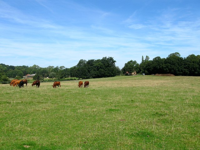
Image: © Simon Carey Taken: 22 Aug 2015
The name of the field according to Lindfield's 1845 tithe map that is bound by Butterbox Lane to the north and Springwell Wood and Image to the south. In the distance on the left is Butterbox Farm whilst just visible through foliage towards the centre is Image
Images are licensed for reuse under creativecommons.org/licenses/by-sa/2.0
Image Location
Latitude
50.99521
Longitude
-0.026768