Byway to Winterwell Barn
Introduction
The photograph on this page of Byway to Winterwell Barn by Derek Harper as part of the Geograph project.
The Geograph project started in 2005 with the aim of publishing, organising and preserving representative images for every square kilometre of Great Britain, Ireland and the Isle of Man.

There are currently over 7.5m images from over 14,400 individuals and you can help contribute to the project by visiting https://www.geograph.org.uk
Byway to Winterwell Barn
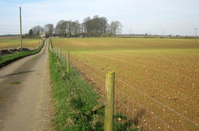
Image: © Derek Harper Taken: 8 Apr 2015
Restricted byway KNE 23/1 runs along this track between arable fields. The barn can be seen among trees 300 metres away.
Images are licensed for reuse under creativecommons.org/licenses/by-sa/2.0
Image Location
Latitude
51.821554
Longitude
-1.846598