The long path, Bedfont Lakes
Introduction
The photograph on this page of The long path, Bedfont Lakes by Alan Hunt as part of the Geograph project.
The Geograph project started in 2005 with the aim of publishing, organising and preserving representative images for every square kilometre of Great Britain, Ireland and the Isle of Man.

There are currently over 7.5m images from over 14,400 individuals and you can help contribute to the project by visiting https://www.geograph.org.uk
The long path, Bedfont Lakes
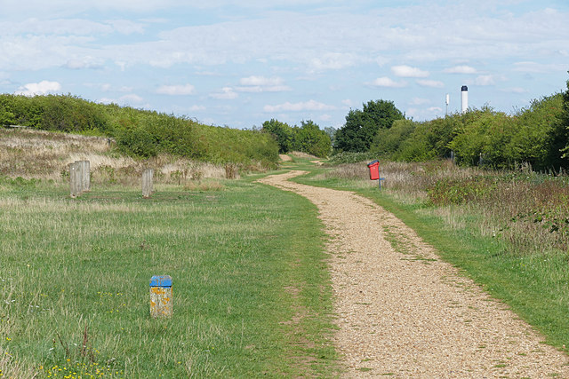
Image: © Alan Hunt Taken: 21 Aug 2015
The path along the southern boundary of the Bedfont Lakes Country Park, a distance of about 1Km. The plant stack of the Feltham Young Offenders Institute can be seen in the background.
Images are licensed for reuse under creativecommons.org/licenses/by-sa/2.0
Image Location
Latitude
51.440546
Longitude
-0.445058