Bank Road, Llangennech
Introduction
The photograph on this page of Bank Road, Llangennech by Jaggery as part of the Geograph project.
The Geograph project started in 2005 with the aim of publishing, organising and preserving representative images for every square kilometre of Great Britain, Ireland and the Isle of Man.

There are currently over 7.5m images from over 14,400 individuals and you can help contribute to the project by visiting https://www.geograph.org.uk
Bank Road, Llangennech
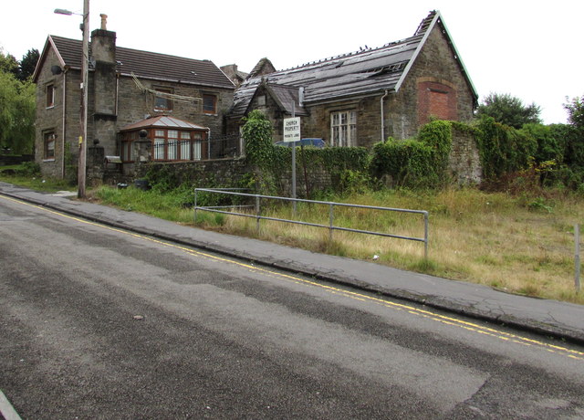
Image: © Jaggery Taken: 20 Aug 2015
A sign near the wall shows CHURCH PROPERTY - PRIVATE LAND. The building with part of its roof missing looks like a former hall or perhaps school.
Images are licensed for reuse under creativecommons.org/licenses/by-sa/2.0
Image Location
Latitude
51.697142
Longitude
-4.084993